
PIB News Update: According to the National Weather Forecasting Centre/Regional Meteorology Centre, New Delhi/Cyclone Warning Division of the India Meteorological Department:
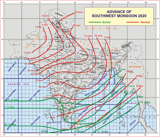
♦ The Northern Limit of Monsoon (NLM) continue passes through Karwar,
Shimoga, Tumukuru, Chittoor, and Chennai.
♦ Conditions are becoming favourable for further advance of Southwest Monsoon into some more parts of Central Arabian Sea, Goa, Some parts of Konkan, some more parts of Karnataka, Rayalaseema, remaining parts of Tamilnadu, some parts of Coastal Andhra Pradesh, some more parts of Central and North Bay of Bengal and some parts of ortheastern states during next 2 days.♦ Conditions likely to become favorable subsequently for further advance of Southwest monsoon into some more parts of Maharashtra, Some more parts of Karnataka, Some parts of Telangana, some more parts of Coastal Andhra Pradesh, remaining
parts of Bay of Bengal & northeastern states, Sikkim, some parts of Odisha and Gangetic West Bengal during subsequent 2 days.
♦ A Low Pressure Area is likely to form over eastcentral Bay of Bengal during next 24 hours. It is likely to move westnorthwest wards and become more marked during subsequent 24 hours. Under the influence of this Low Pressure Area and
convergence of lower level westerlies along the West Coast, fairly widespread to widespread rainfall accompanied with isolated heavy to very heavy rainfall is likely over Odisha, north Coastal Andhra Pradesh, Telangana, Coastal Karnataka,
north Konkan and Kerala & Mahe during 10th-12th June and isolated heavy falls over north Madhya Maharshtra, Marathwada, Vidarbha, Chhattisgarh and south Madhya Pradesh during 11th-12th June.
Meanwhile, IMD forecasts that:
♦ Maximum temperature likely to rise by 2-4°C over Northwest & Central India and Maharashtra during next 2-3 days.
♦ No significant change in maximum temperatures likely over rest parts of the country during next 3-4 days.
Weather Warning:
(08 June (Day 1):
♦ Thunderstorm accompanied with lightning & gusty winds (speed reaching 30-40 kmph) very likely at isolated places over Andaman & Nicobar Islands, Assam & Meghalaya and Nagaland, Manipur, Mizoram & Tripura, Gujarat State, Madhya Maharashtra, Konkan & Goa, Odisha and Gangetic West Bengal and with lightning at isolated places over Rajasthan, Jharkhand, Arunachal Pradesh, Coastal Andhra Pradesh & Yanam and Coastal & South Interior Karnataka.
♦ Heavy rainfall at isolated places very likely over Andaman & Nicobar Islands, Assam & Meghalaya, Nagaland, Manipur, Mizoram & Tripura and Gujarat.
♦ Strong winds (speed reaching 45-55 kmph) very likely over southwest & westcentral Arabian Sea and south Bay of Bengal. Fishermen are advised not to venture into sea over these areas.
(09 June (Day 2):
♦ Thunderstorm accompanied with lightning & gusty winds (speed reaching 30-40 kmph) very likely at isolated places over Andaman & Nicobar Islands, Odisha and Gangetic West Bengal and with lightning at isolated places over Vidarbha, Chhattisgarh, Sub-Himalayan West Bengal, Gujarat State, Assam & Meghalaya and Nagaland, Manipur, Mizoram & Tripura, Jharkhand, Arunachal Pradesh, Coastal Andhra Pradesh & Yanam, Telangana and Rayalaseema.
♦ Heavy rainfall at isolated places very likely over Odisha, Andaman & Nicobar Islands, Coastal Andhra Pradesh & Yanam, Kerala & Mahe, Assam & Meghalaya and Nagaland, Manipur, Mizoram & Tripura.
♦ Strong wind (wind speed reaching 45-55 kmph) very likely over Southwest & Westcentral Arabian Sea, South and Eastcentral Bay of Bengal. Squally weather (wind speed reaching 40-50 kmph) along & off Andhra Pradesh coast. Fishermen are advised not to venture into sea over these areas.
(10 June (Day 3):
♦ Thunderstorm accompanied with lightning & gusty winds (speed reaching 30-40 kmph) very likely at isolated places over Andaman & Nicobar Islands, Madhya Maharashtra and Konkan & Goa and with lightning at isolated places over Rajasthan, Bihar, West Bengal & Sikkim, Assam & Meghalaya and Nagaland, Manipur, Mizoram & Tripura, Jharkhand, Arunachal Pradesh, Coastal Andhra Pradesh & Yanam, Telangana, North Interior Karnataka and Rayalaseema.
♦ Heavy to very heavy rainfall at isolated places very likely over Odisha and Coastal Andhra Pradesh & Yanam and heavy rainfall at isolated places over Andaman & Nicobar Islands, Konkan & Goa, Telangana, Rayalaseema, Coastal Karnataka, Kerala & Mahe, Assam & Meghalaya and Nagaland, Manipur, Mizoram & Tripura.
♦ Strong wind (wind speed reaching 45-55 kmph) very likely over Southwest & Westcentral Arabian Sea, South and Central Bay of Bengal, North Andaman Sea and Gulf of Mannar. Squally weather (wind speed reaching 40-50 kmph) along & off Andhra Pradesh coast. Fishermen are advised not to venture into sea over these areas.
Kindly visit www.imd.gov.in for updates.