

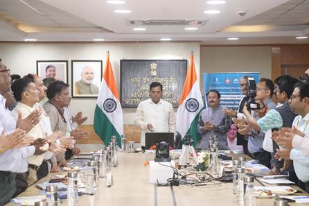
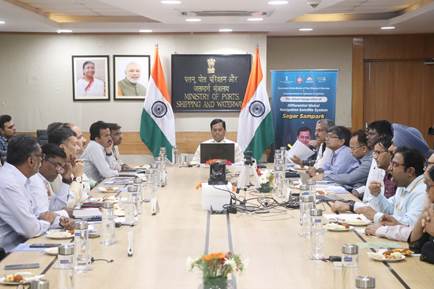
The Ministry of Ports, Shipping and Waterways is committed towards innovation, building best infrastructure, and strengthening the Indian Maritime sector. Today, to further the digital initiative in maritime sector the Union Minister of Ports, Shipping and Waterways, Shri Sarbananda Sonowal inaugurated the indigenous Differential Global Navigation Satellite System (DGNSS) ‘SAGAR SAMPARK’ in the presence of Shri Shripad Y. Naik, the Minister of State of Ports, Shipping and Waterways; Shri TK Ramachandran, IAS Secretary, MoPSW and other senior officials from the ministry and Directorate General of Lighthouses and Lightships. DGNSS is a terrestrial based enhancement system which corrects the errors and inaccuracies in the Global Navigation Satellite System (GNSS) allowing for more accurate positioning information.
Speaking on the occasion, Shri Sarbananda Sonowal said, ‘Under the leadership of the Prime Minister, Shri. Narendra Modi ji, the Ministry of Ports, Shipping and Waterways have given high priority to the safety of Navigation, especially due to the considerable increase in shipping volume in the recent past’. He said, the launch of ‘Sagar Sampark – Differential Global Navigation Satellite System (DGNSS)’ at 06 locations under DGLL, will definitely enhance the capability of the DGLL in the field of the Radio Aids to Marine Navigation.’
The DGNSS service will help mariners in safe navigation and will reduce the risk of collisions, groundings, and accidents in the port and harbour areas. This will lead to safe & efficient movement of vessels.
Speaking on the occasion, Shri Shripad Y. Naik said ‘DGNSS is an important Radio Aid to Navigation towards fulfillment of international obligations of International Maritime Organisation (IMO), Safety of Life at Sea (SOLAS) and International Association of Marine Aids to Navigation and Lighthouse Authorities (IALA)’.
After recapitalization with multiple satellite constellations like GPS and Global Navigation Satellite System (GLONASS), DGNSS further increases the availability and redundancy as per International standards and helps the mariners to improve their positioning within 5 meters.
The latest DGNSS system is now able to transmit corrections of GPS and GLONASS. The DGNSS significantly improves the accuracy of GPS positioning, reducing errors caused by the atmospheric inferences, satellite clock drift and other factors. This is achieved with the help of modern state of art technology receivers and latest software. The error correction accuracy has been improved from 5 to 10 meters to less than 5 meters for 100 Nautical Miles from Indian coastlines.